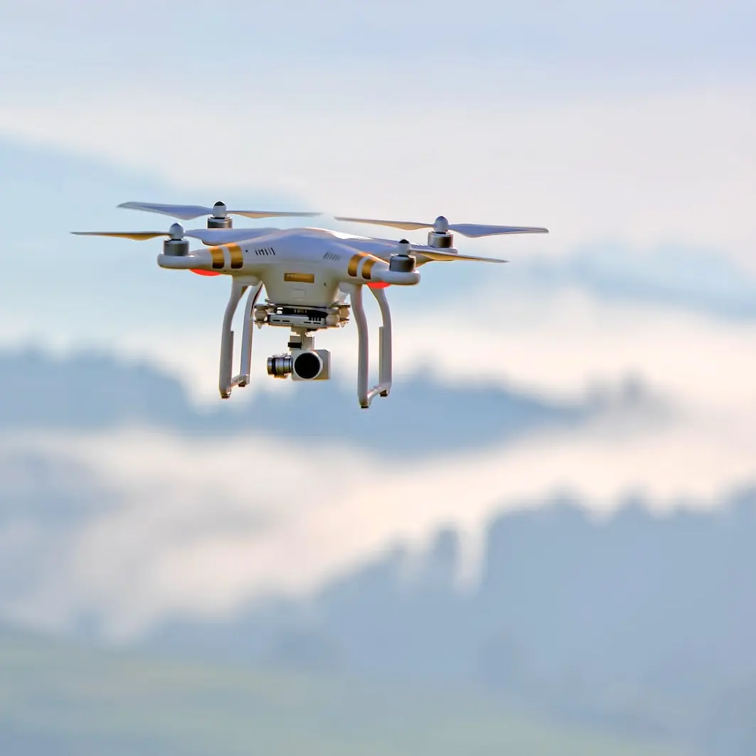
Scale Your Drone Operations.
We make the sky work for you.
INVOLI delivers real-time air traffic data so you can fly more missions,
more efficiently, including BVLOS.
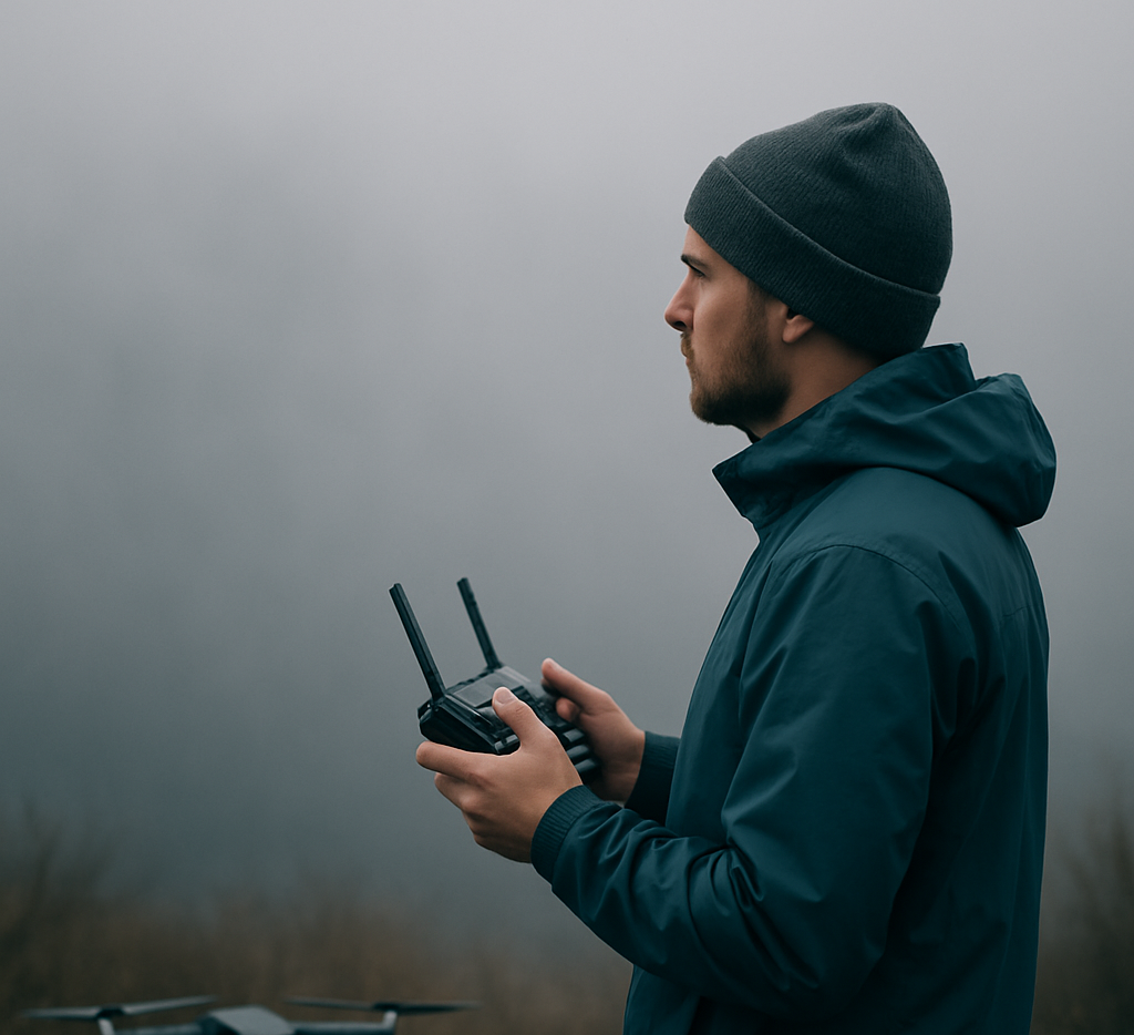
Flying drones shouldn’t be limited by what you can’t see.
Too many operations are grounded or delayed because drone pilots lack visibility of other aircraft.
That’s not just a risk — it’s a bottleneck.
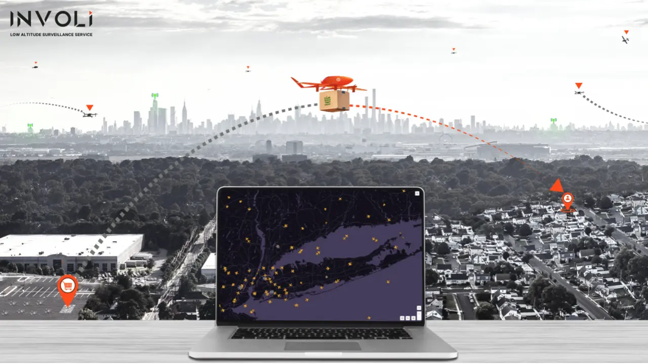
Introducing VistaTrack
The largest surveillance network ever built for BVLOS drone operations is now live — with 550+ receivers across the U.S., Europe, and Australia.
Real-time air traffic data down to 200 ft AGL, accessible via INVOLI.live or our REST API.
🔍 Explore coverage in your area
✅ Lower your air risk for SORA, FAA waivers, and U-space compliance
🚀 Integrate once — operate globally
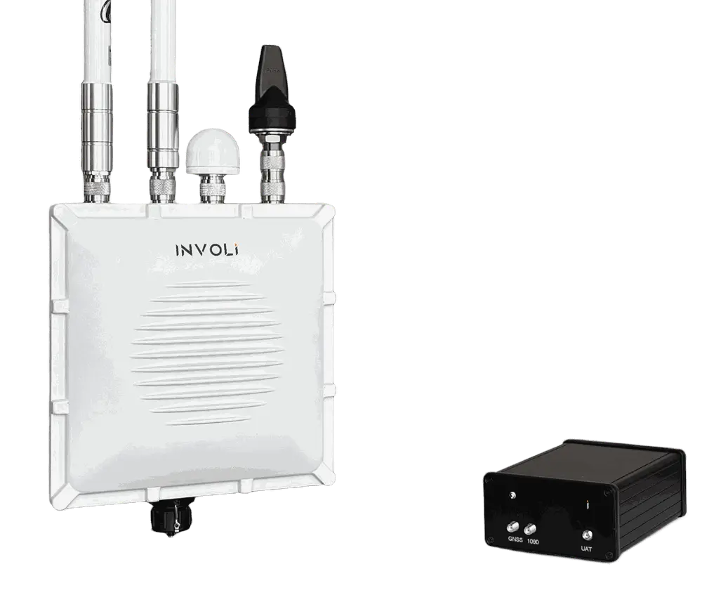
Powered by INVOLI Receivers, Scalable to Your Needs
VistaTrack is powered by our network of INVOLI receivers — compact, professionally installed sensors that detect manned aircraft even at very low altitudes, including those without GPS position.
These receivers feed real-time surveillance data into INVOLI.live and our REST API, delivering a live, accurate picture of low-altitude airspace for drone operators.
Need coverage in a new area or greater redundancy for critical missions? VistaTrack can be expanded by deploying additional receivers — by you, or by our team.
With this trusted visibility, you can reduce air risk, secure BVLOS approvals, and scale operations with confidence — in the U.S. and internationally.

1
Detect
Our receivers pick up ADS-B, Mode S,
Mode A/C, FLARM and UAT signals.
2
Visualize
See all traffic on INVOLI.live
or integrate via REST API.
3
Act
Plan safer flights, unlock BVLOS,
avoid delays.
4
Scale
Add receivers or zones as your operations grow.
We help unlock airspace for:

Infrastructure Managers
Monitor surrounding airspace at critical sites like wind farms, powerlines, and ports.

HEMS, Airport and Heliports
Improve low-altitude situational awareness and support safe integration of drones around sensitive aviation infrastructure.
UTM, U-space & USSP Providers
Deliver regulatory-compliant traffic information services, backed by validated surveillance data.
Trusted. Proven. Certified.
500+ Receivers deployed
We’ve already built one of the largest low-altitude surveillance networks in the world.
ISO 9001:2015 Certified
Our processes meet the highest international standards for quality management.
CE & FCC Marked Hardware
Fully compliant with European and US hardware regulations for safety and performance.
Swiss Made & US Manufacturing
Precision-built in Switzerland, with additional units manufactured in the United States.
Approved by CAAs
Aviation authorities around the world approve BVLOS drone missions using our system, through the SORA methodology or equivalent frameworks.
ASTM F3623-23 Co-Leadership
We help shape global standards for surveillance data — and we follow them.
SURVEILLANCE DATA YOU CAN TRUST!
INVOLI's mission is to make the sky safe and efficient by providing real-time, accurate information on nearby air traffic.
Our state-of-the-art technology has the power to transform many industries by providing the missing infrastructure needed to unlock high-quality air traffic data at an affordable price.
Certifications


Our Partners


Ready to scale your drone operations?
Start flying with real-time air traffic data and get the approvals you need to unlock BVLOS.